This is a retrospective blog of my seven-week exploration of Virginia along with a journey through the Shenandoah National Park and on down the Blue Ridge Parkway to Cherokee, North Carolina. 'Retrospective' means simply that it wasn't written during the trip, but is being written after-the-fact, a little over a year later. Baaswell Sheep accompanied me and is writing the blog in the way he's done my later blogs, since he's so good with the color commentary. Unfortunately, since I didn't plan for this blog back when I was doing the trip, my pictures are limited to the major attractions, but I'll try to make those galleries a little larger than I do in my later blogs.
Select/click any image to see it at double (or more) the current size. While viewing a large image, use the left and right arrow keys to view other images on this page. Select/click on the large image or any part of the darkened area, or press 'Escape', to return to the blog page. Note: Table of contents is now located at the bottom of the page.
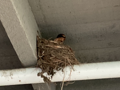
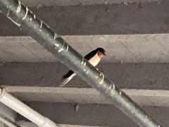
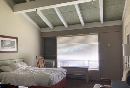
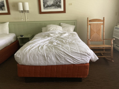
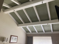
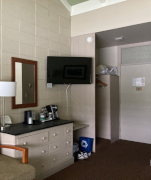
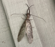
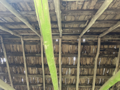
It's time to leave the lodge and continue south, but first a quick look at what one of the lodge rooms is like on the inside. You're paying for the location, not the ambiance, and the window air conditioner struggled to fight off the summer heat, but the room was comfortable enough at night, and we were out and about through most of the daytime hours. The rooms all have outdoor entries, and all along those walkways birds have built nests in the eaves. We tried to get some good pictures, but the birds were a bit camera shy it seemed. The last picture is of an eastern dobsonfly, a kind of moth that we found outside along one of the walkways.
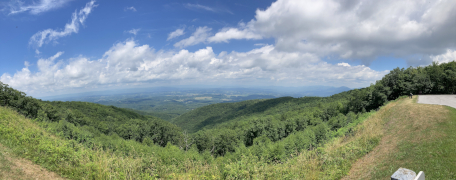
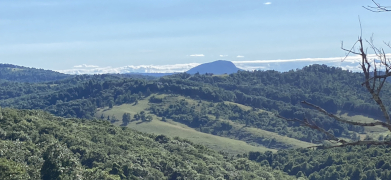
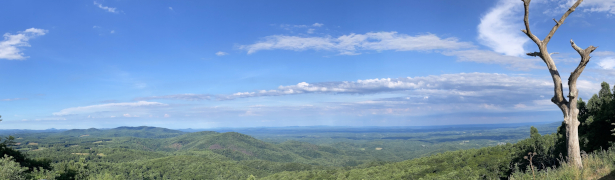
There are probably over two hundred overlooks and other parking areas along the Parkway, and with many we only took one or two good pictures, which doesn't seem to warranty an entire blog entry. Still, the views are breathtaking, so I'm just going to lump groups of pictures single entries, starting with this batch:
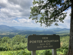
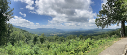
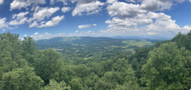
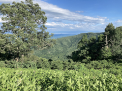
Porter Mountain - Milepost 90.0
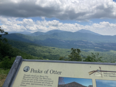
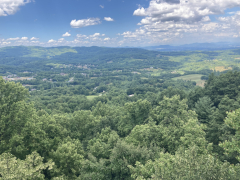
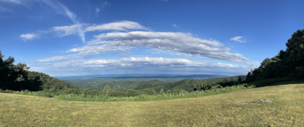
Peaks of Otter Overlook
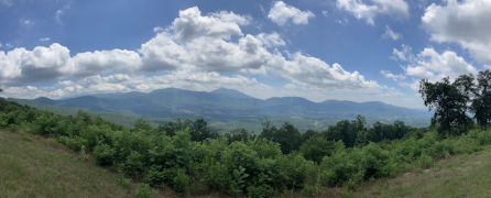
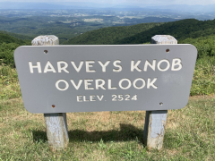
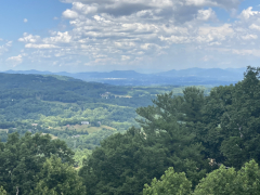
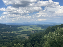
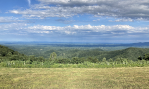
Harvey's Knob - Milepost 95.5
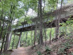
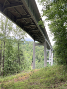
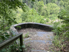
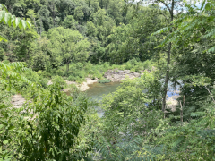
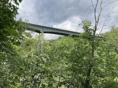
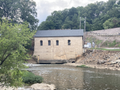
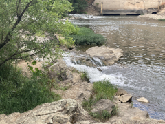
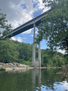
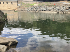
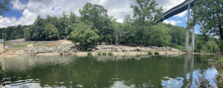
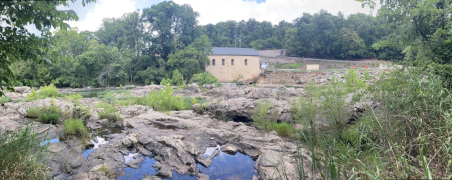
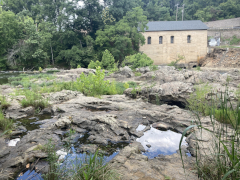
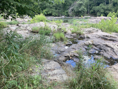
Just south of the Roanoke River is a parking area from which you can hike down to the river itself and get an up-close and personal view of it, as well as a look at the construction of the Parkway bridge over the river. Just upstream but not visible from here is the Niagra Power Plant dam – the building you see in some of the pictures is connected to the plant.
We opted for brunch on the road and stopped off at a Charlotte, North Carolina based favorite, even if it is fast food. As soon as we'd eaten, we jumped back on the parkway and kept going.
These random moments all come from somewhere between US 220 south of Roanoke and the Smart View Picnic Area.
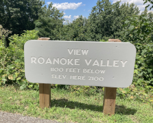
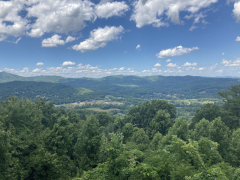
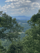
Roanoke Valley - Milepost 129.6
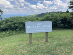
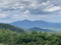
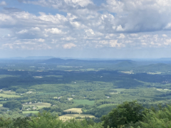
Devil's Backbone - Milepost 143.9
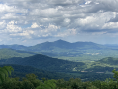
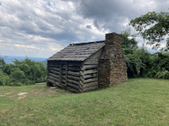
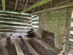
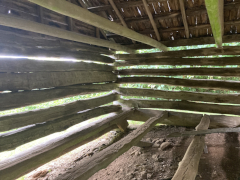
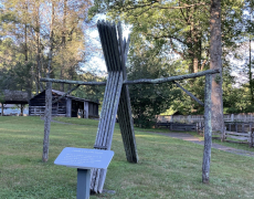
Smart View: Pioneer Cabin - Milepost 154.5
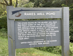
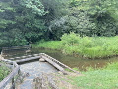
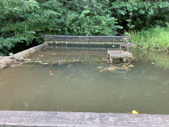
Rakes Mill Pond - Milepost 144.8
Buffalo Mountain - Milepost ?
The Saddle - Milepost 168.0
Rocky Knob Visitor's Center - Milepost 167.2
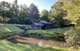
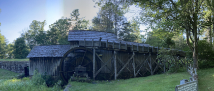
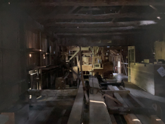
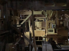
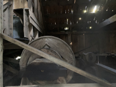
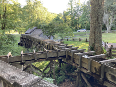
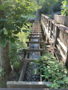
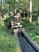
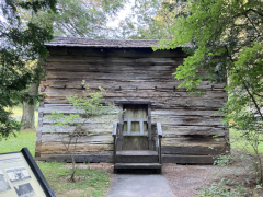
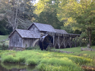 Dubbed the most photographed spot on the Parkway, it's kind of hard to imagine that an old mill building is photographed more than any of the mountain and valley views, but that's what they claim, and oddly enough in the bathroom of our hotel room tonight we find what else but a photograph of the Mabry Mill! It is a nice old mill, built in 1910 and operated until 1936, then restored by the National Park Service in 1945, now set in context with a number of old farm buildings and displays of equipment that would have been used in conjunction with the mill and the production of sorghum molasses. There's a restaurant adjacent to the parking lot, but for the second time that we've been by here, it was closed, but that's the way things go on the Parkway it seems. Still, we got to walk around the mill / farm area without any crowds at all. We couldn't go inside the mill, but my companion managed to get some interesting pictures through cracks in the old wooden doors.
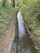
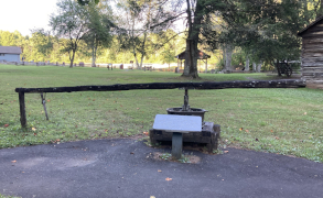
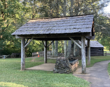
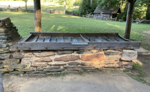
The Mabry Mill and Water Channel / Trough
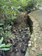
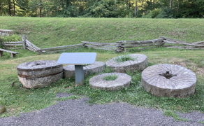
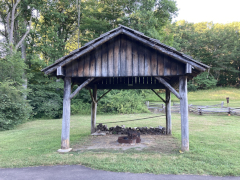
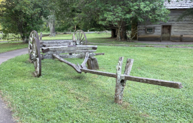
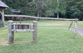
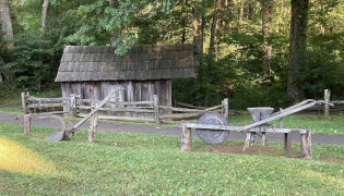
The Pioneer Farm / Sorghum Molasses Making Exhibits
Descriptions of Exhibits: grindstones; lumber drying rack; Matthews cabin; bark mill (to make bark 'bark liquor for tanning hides); fire pit (for boiling the sorghum plant juices); evaporator pan (side view); evaporator pan (front view); horse drawn cart; unidentified horse powered grinding device; ploughing tools
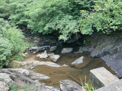
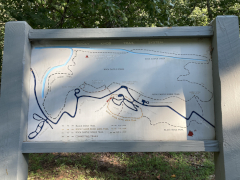
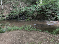
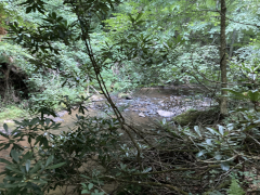
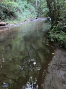
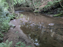
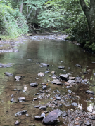
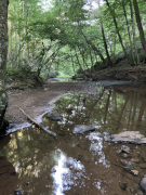
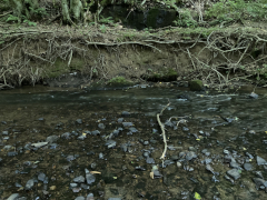
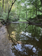
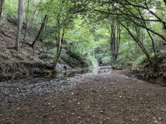
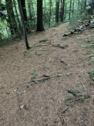
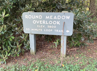 We stopped here and took a hike on the Round Meadow Creek trail, which was nicely shaded and pretty comfortable after a very sunny day. We always enjoy hiking near creeks, rivers, ponds, lakes -- anything with water in it -- so this was a nice way to end the day. After this, we went on south just a little ways to US 52 and went down to Hillsville, VA to spend the night. Tomorrow, we'll see the last little bit of Parkway in Virginia, then exit onto a detour as we go into North Carolina.
Please note that all restaurant and product names are used simply for referential purposes and links provided as a courtesy. Reviews are the sole opinions of the reviewer: no restaurant has paid to be listed here, and no restaurant is being explicitly endorsed. In other words, go out there, try them all, and form your own opinions!
All original content ©2025 Kevin Pittman and may not be reused without permission